
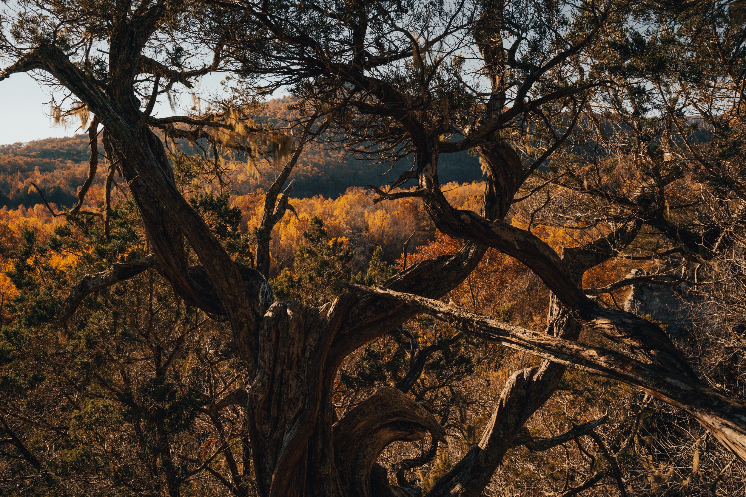
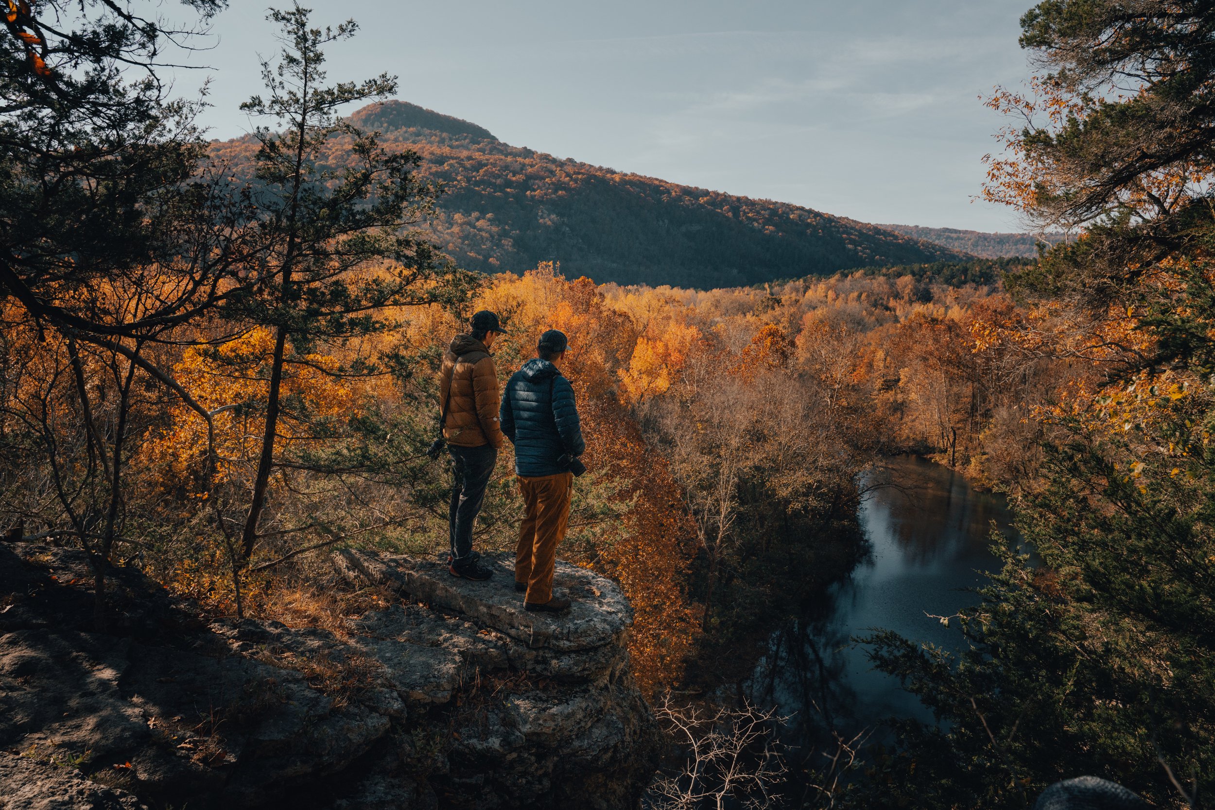
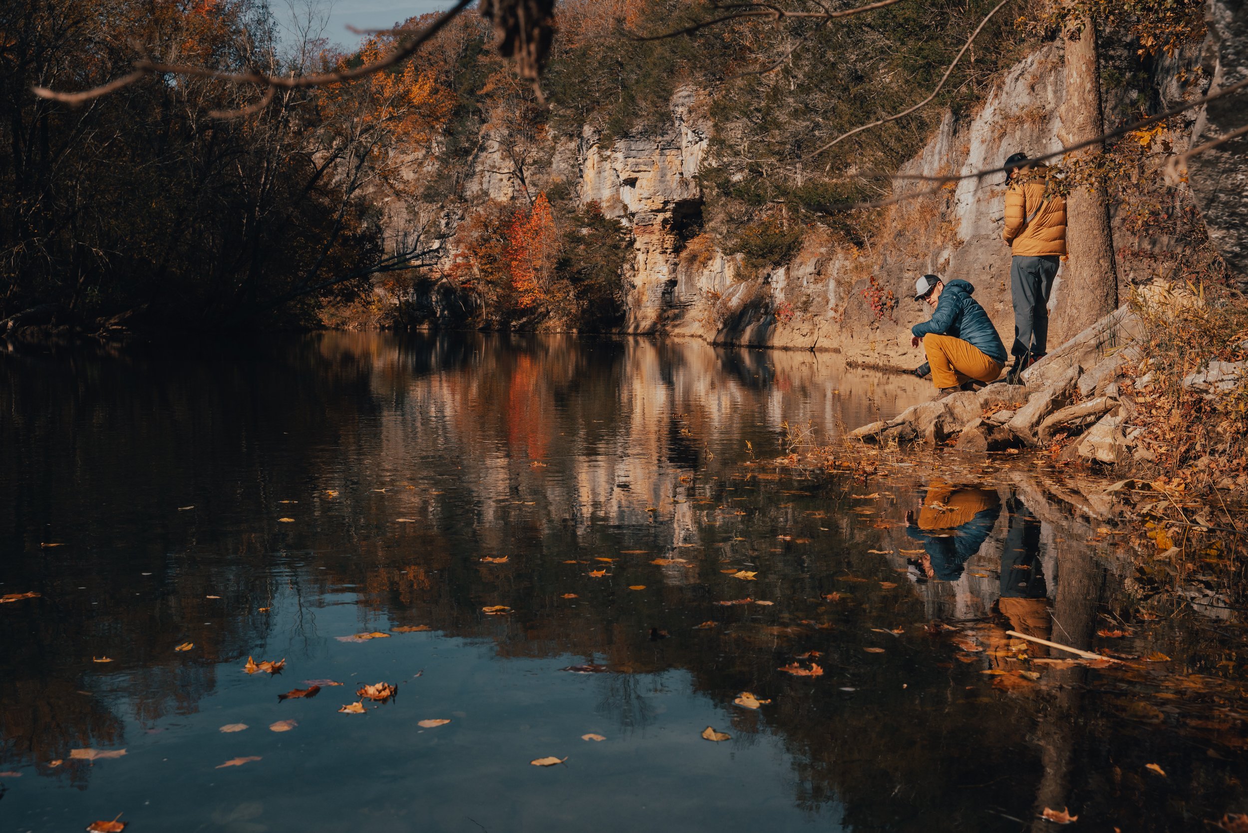
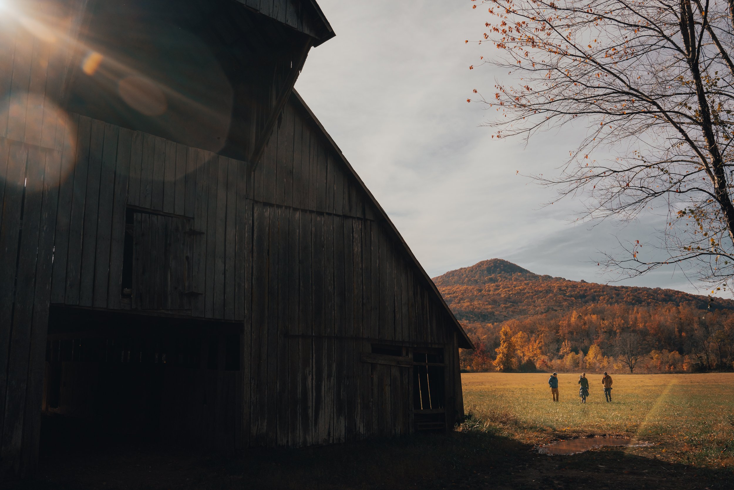




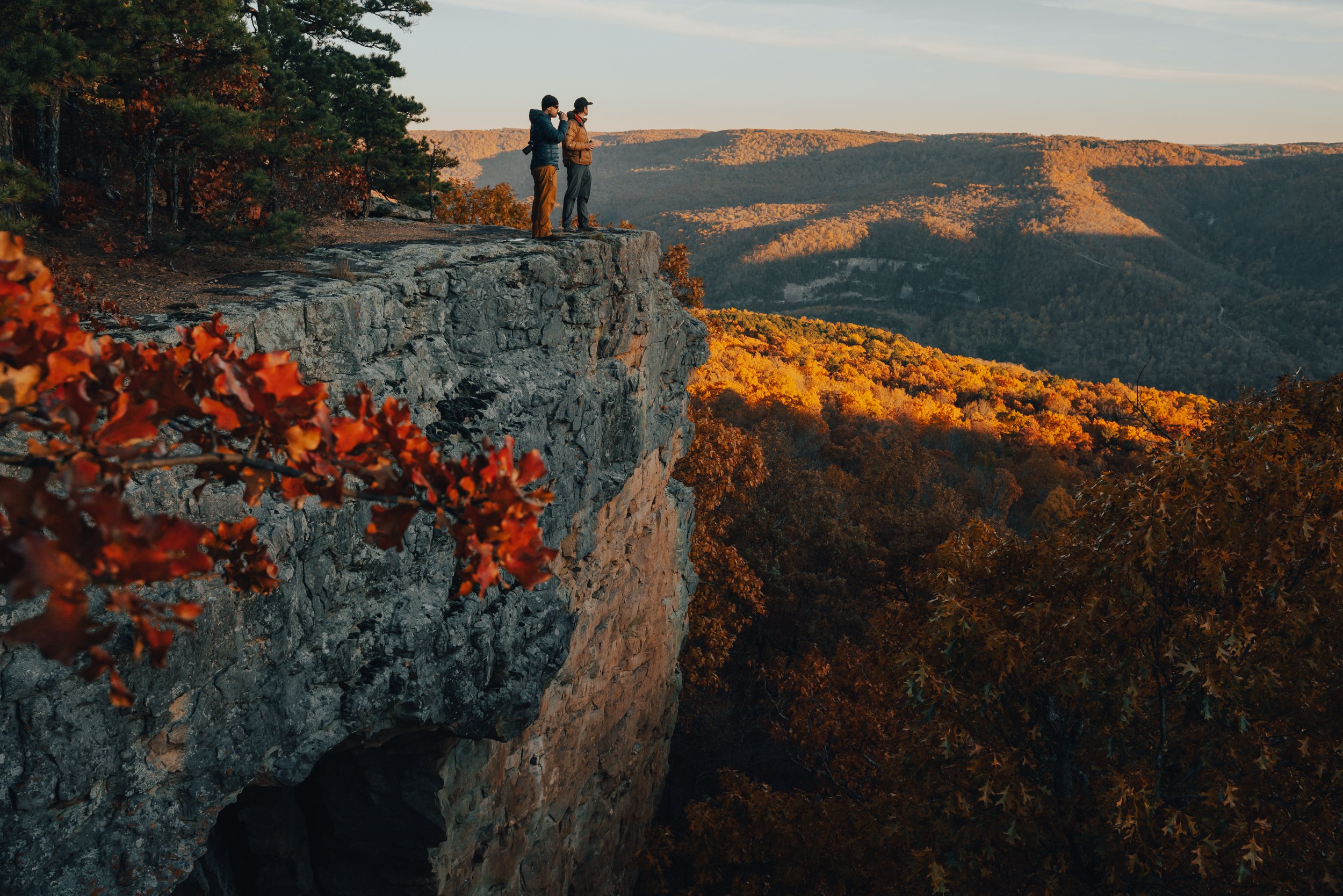


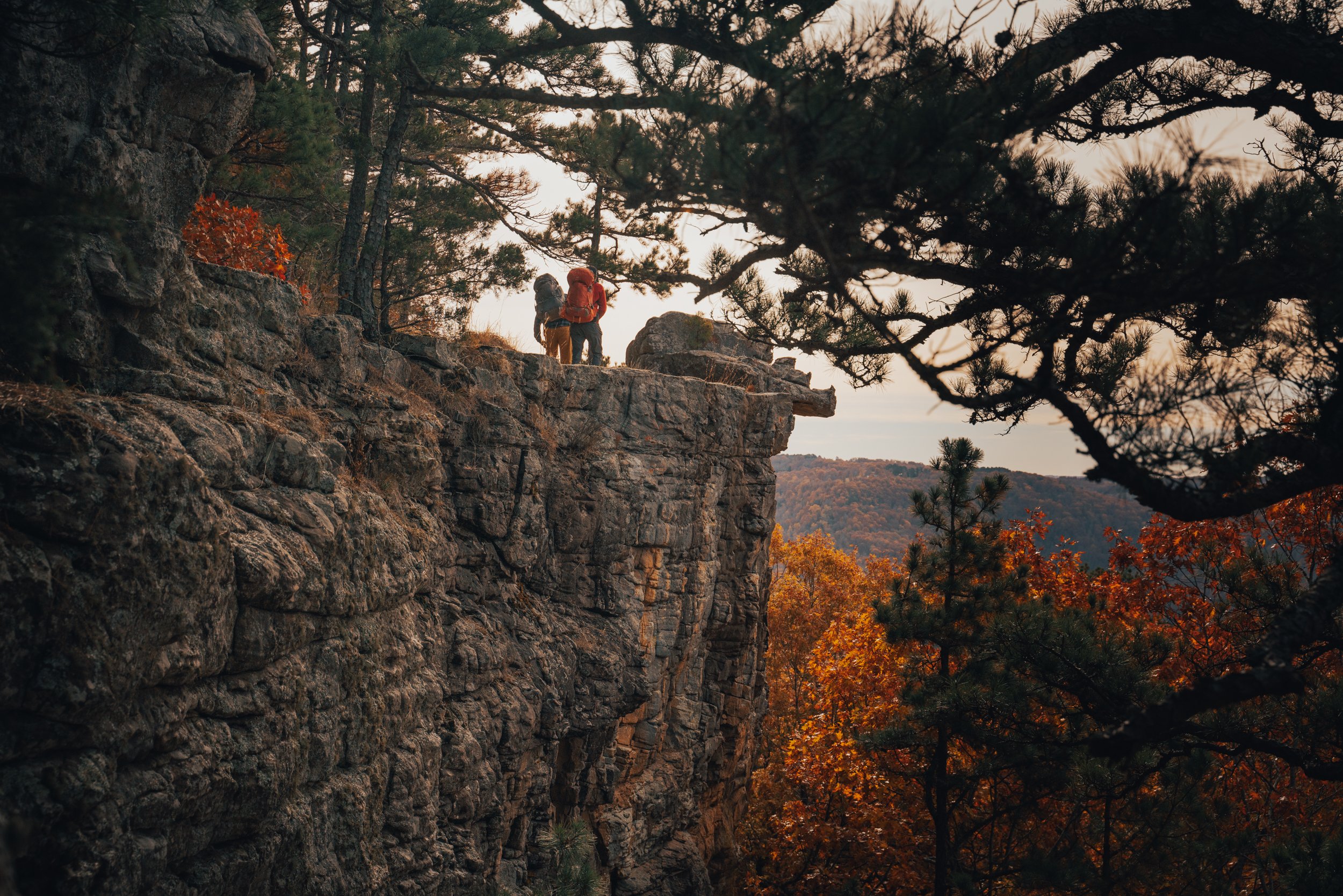
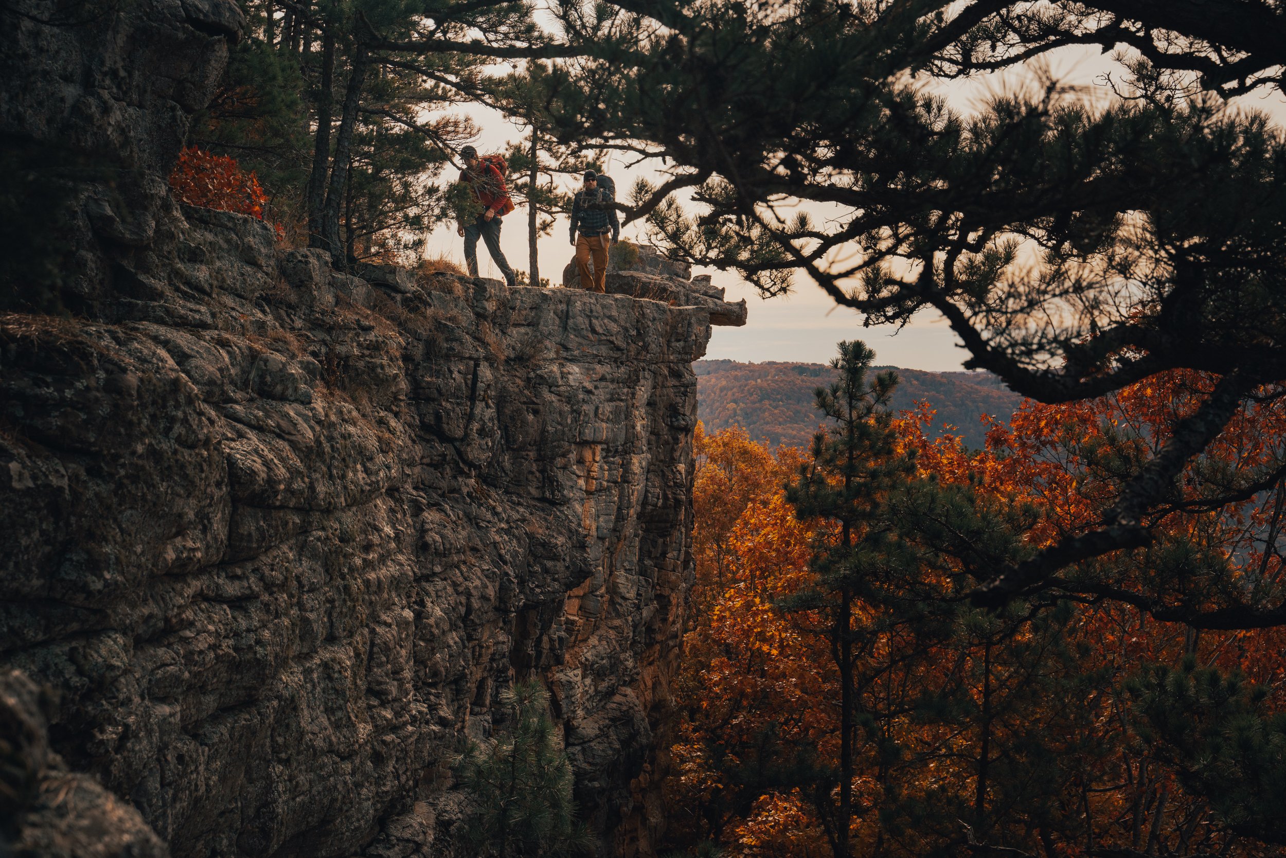
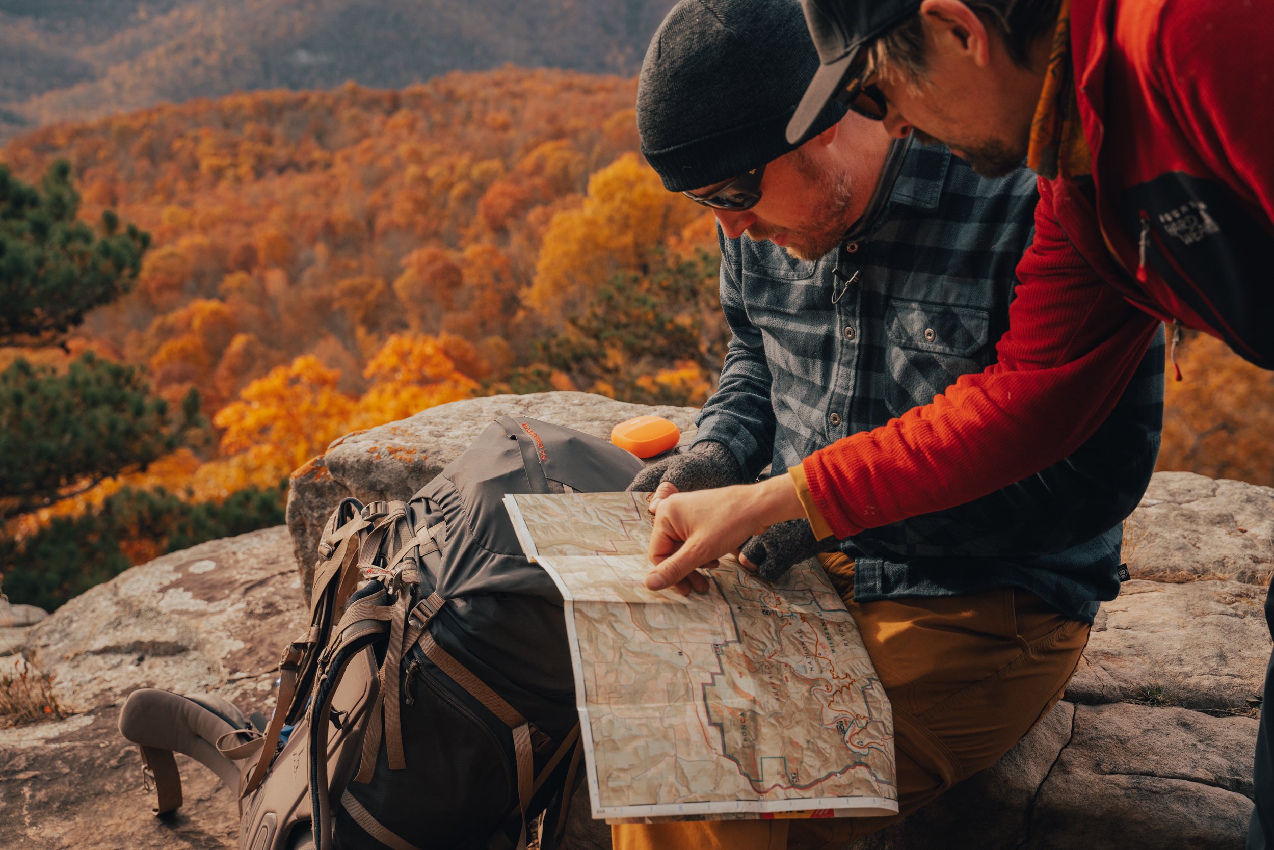
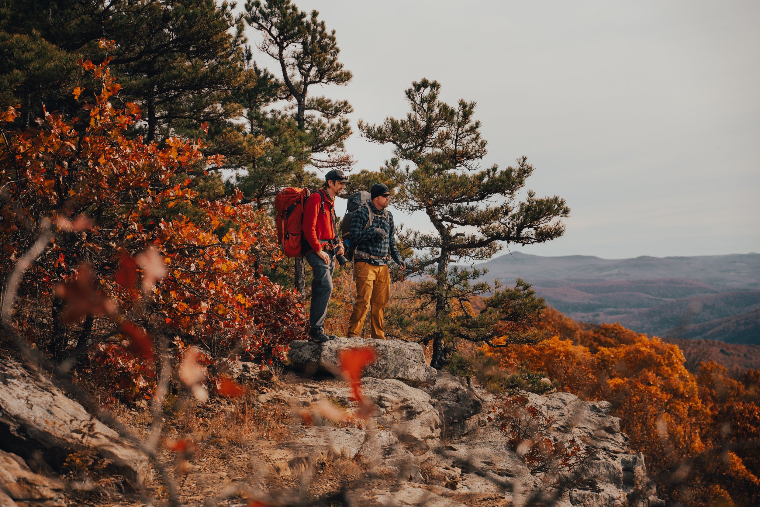
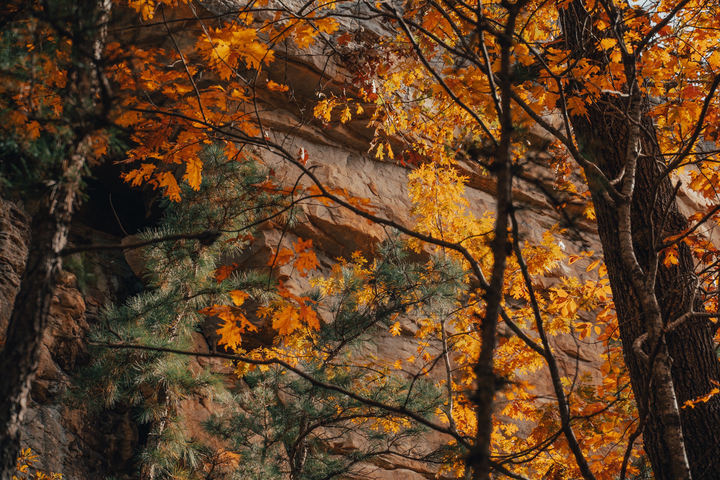
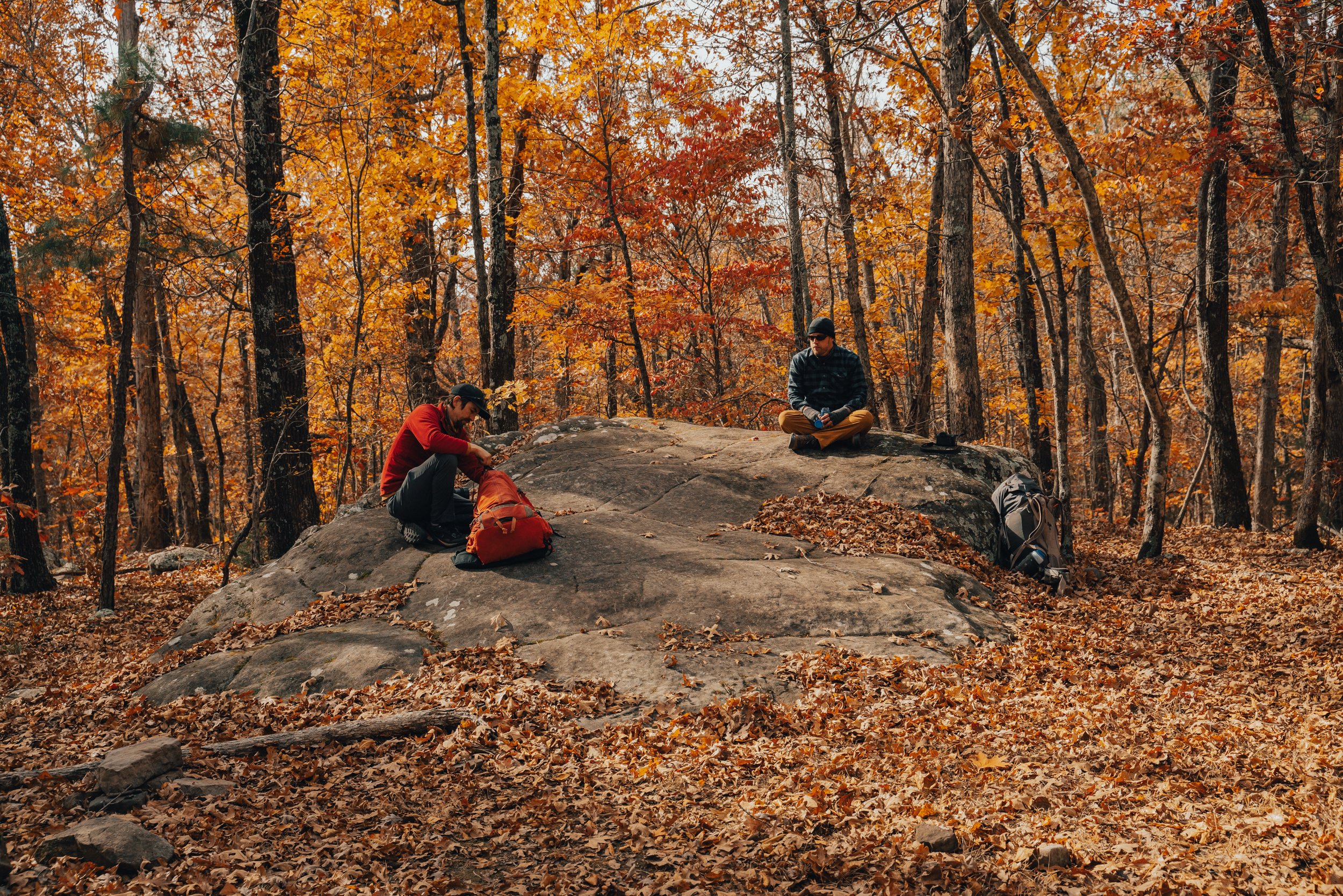
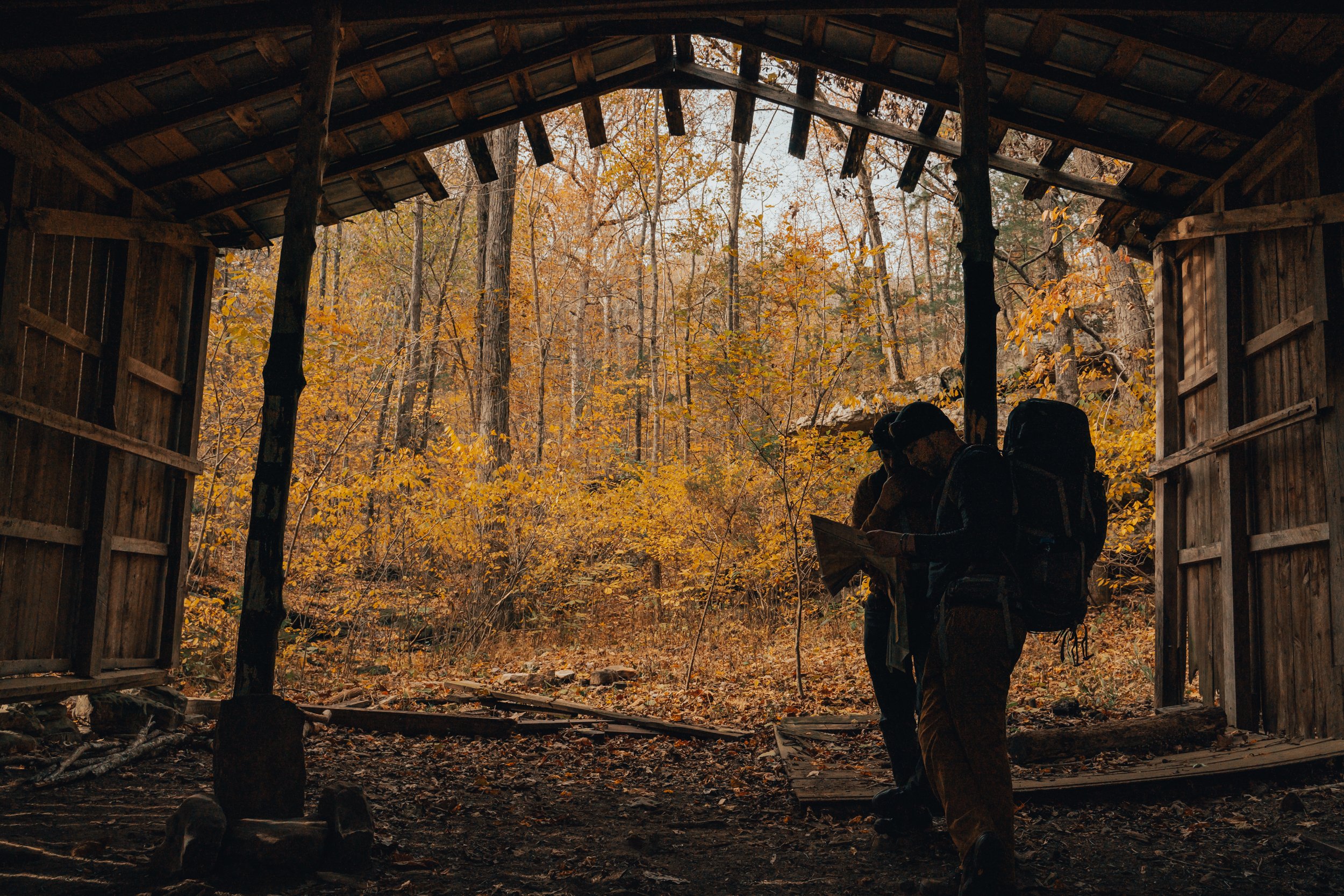
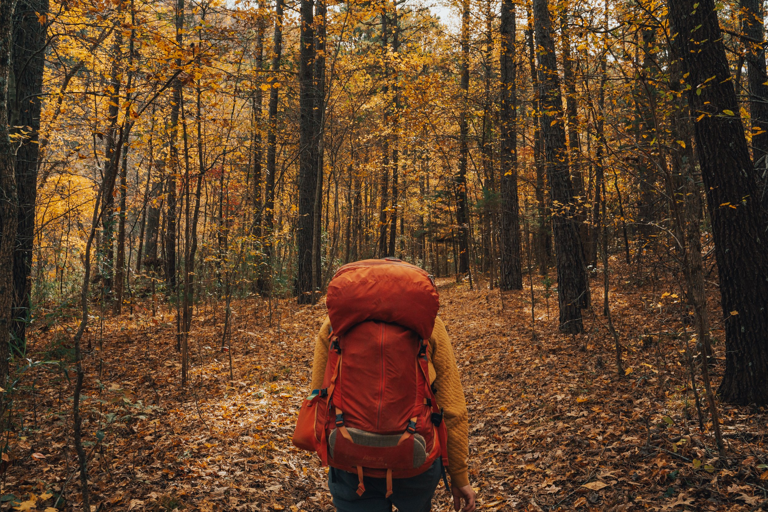

One of the largest natural bridges (arches) in the Ozarks found in Alum Cove.
The Ozark National Forest is a true treasure trove of geological marvels, and one of its most extraordinary gems can be found nestled along the slopes of Henderson Mountain, near the charming town of Deer, Arkansas. This remarkable natural wonder goes by the name of Alum Cove Natural Bridge Geological Area, and it proudly showcases one of the largest and most magnificent natural bridges or arches in this region. Spanning an impressive length of 130 feet and boasting a width of 20 feet, this awe-inspiring arch stands as a testament to the passage of time and the ever-changing landscape of the Ozarks. The natural bridge is all that remains of what once was a quartz sandstone cave. Though the cave is long gone, the Alum Cove Natural Bridge continues to capture the imagination of visitors, inviting them to marvel at its beauty and ponder the forces of nature that sculpted such a remarkable formation.

ALUM COVE NATURAL BRIDGE GEOLOGICAL AREA
Difficulty: Easy Length: 1.1 Miles Roundtrip Elevation: 272 ft

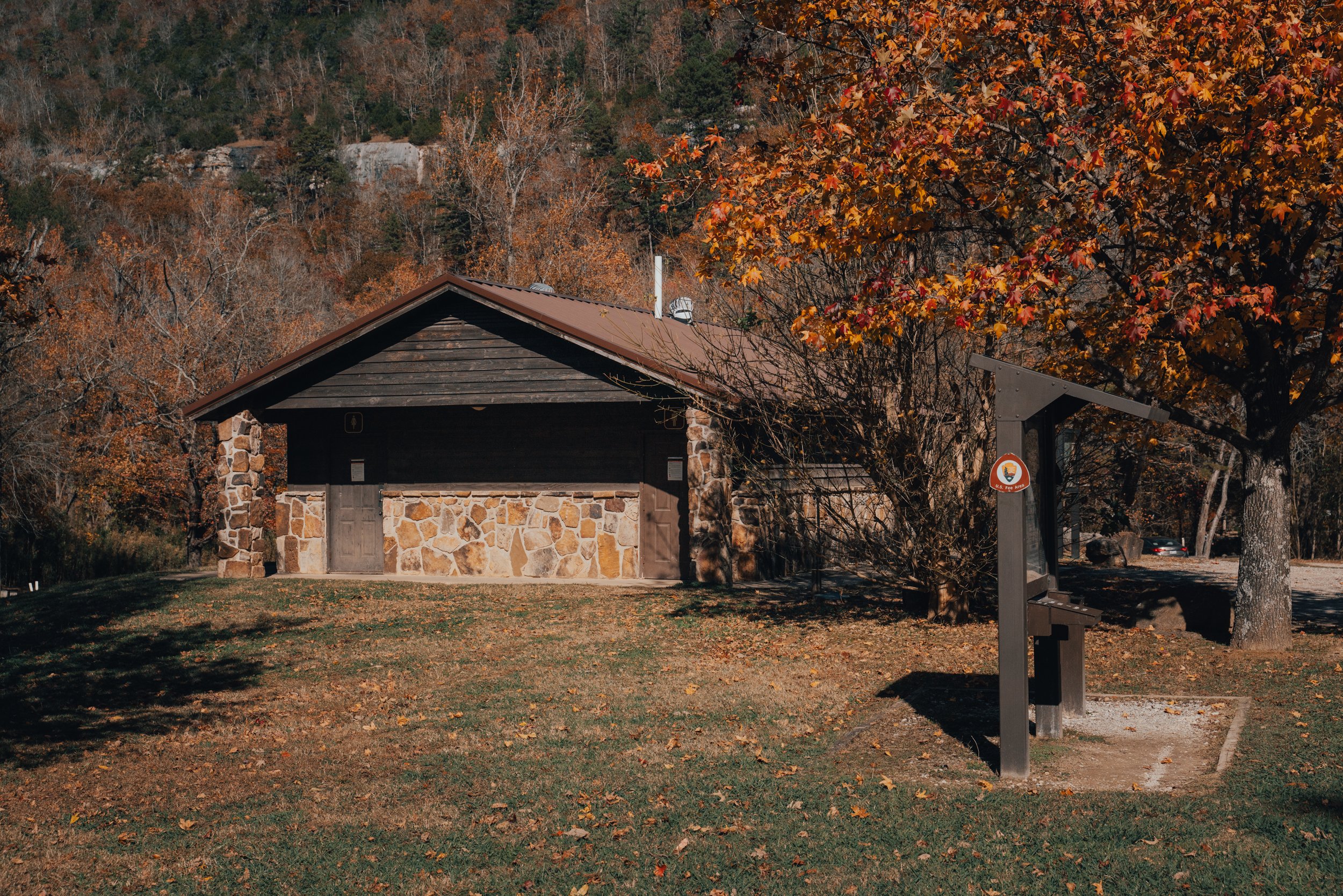
MC’s family came up over the weekend, and I wanted to take them on a great hike with plenty to see. The Alum Cove National Recreation Trail fit the bill perfectly. It is a relatively easy 1.1-mile roundtrip hike featuring caves, bluff lines, numerous tree species, water features, and wildlife. The area also has restroom facilities and a beautiful picnic area (camping is not allowed). If I were recommending family-friendly trails, this would only be second to the Lost Valley Trail.

The trail down to the Natural Bridge gradually makes its way downhill with multiple switchbacks.
The Trail makes its way through the picnic area and then gradually downhill, through multiple switchbacks, before bringing you to the top of the Natural Bridge. They say that early settlers used this “natural bridge” to move their wagons and livestock over the stream found in Alum Cove during wet periods.

The top of the Natural Bridge at Alum Cove.
The trail continues downhill from the top of the natural bridge to the bottom for one of the most speculator views in the area. I know some people will make the hike down for the sole purpose of seeing this view before returning to the trailhead. Still, there is more beauty to experience in the geological area, and I'd highly recommend continuing along the short loop across the cove.
Hikers can take the Natural Bridge loop in either direction, but I tend to take the trail at the far end of the arch. the trail wanders along the bluff and then gradually meanders a little further down into the cove to a stream. During wet periods this stream has some beautiful little cascade along with it, and if you look around, you may even find a salamander or crawdad. After crossing the stream, you will begin to climb a little toward another bluff line (this is the adjacent side of the cove that you came in on).
The trail will hug this bluff for a short time and take you past some incredible natural features. If you came in the way I usually do, then the first of these features is a crack in the bluff that you can walk through/behind that also has a smaller natural arch. This area is my second favorite part of the entire loop, and I usually take my time through here. There is a bench under the arch for anyone who wants to sit and take in the area's beauty.

A split in the bluff that you can walk through and behind featuring a smaller natural arch.

The relentless forces of wind and water have exerted their artistic prowess upon the majestic sandstone bluff line, bestowing upon it a plethora of awe-inspiring features. Among these magnificent formations, are a humble arch and porthole, delicately sculpted by the ceaseless caress of natural elements.
After leaving the crack in the bluff, you will soon come to a wet-weather waterfall. I’m sure it would be beautiful with significant rain, but I have not been during or after heavy rain despite the many times I have visited this trail.
After the waterfall, you come to a cave entrance (there are two ways to access this beautiful little bluff shelter, the easier being a little further up the trail). They say Native Americans used the rock overhangs and small caves for cover while on extended hunting trips through the area. Free-roaming goats inhabited the caves in more recent history, and locals now call these formations “goat houses.”

Silhouetted in the Goat House, a hiker looks out from the mouth of one of the multiple bluff shelters found along the Alum Cove loop.
Silhouetted in the Goat House, a hiker looks out from the mouth of one of the multiple bluff shelters found along the Alum Cove loop. As golden sunlight bathes the rugged cliffs in a warm glow, the hiker's eyes trace the jagged edges of the rocks, imagining the countless stories they hold within their ancient layers. The tranquility and solitude found within these natural sanctuaries offer a momentary escape from the hectic pace of everyday life, allowing the hiker to connect with the raw power and beauty of the surrounding wilderness. This magical encounter serves as a reminder of the intricate dance between nature and the adventurous spirit, inspiring the hiker to continue exploring and discovering the hidden gems that await around every corner.
After leaving the goat house, the trail will leave the bluff and begin taking you back toward the Natural Bridge and, ultimately, the trailhead. The way back has a little bit of hill climbing but nothing too strenuous. There are also benches found throughout the trail for anyone who’d like to take a breather.
Alum Cove Natural Bridge Geological Area is gorgeous during any season. Here are a couple of images of Spring and Winter from under the arch.